Circumnavigation of Oz take 2

One day they might invent some form of Electronic aid for finding directions, and in my case, they might make it waterproof even.
 
Google maps lies......... The C word was used. As in bunch of....
Very recently a mother with her 2 children were lost in the bush for a couple of days after following directions from her Navman or similar. Ended up stranded without food and water untill they were found axle deep in bulldust by a helicopter pilot.
The SES strongly recommended drivers not to use electronic navigation aids whilst travelling in the out back but to rely on maps. Not Google.
Lesson learned Marty, get a map.
Good luck with the rest of the trip boys.
 
There are a couple of issues with Topographical maps, their scale can have you run off the map real quick doing big distances so you need heaps of them and you can have no intersections or heaps of intersections and that can make it hard to know where you are on said map. Anybody can get bushed in remote places, and running out of fuel or water or getting bogged or braking down can and does kill especially when it's hot. When I was a kid it would happen regularly, less these days with all the tourists doing big 4-wheel drive trips. Happily, Marty bought an Epirb before leaving.
 
All part of the adventure 👍
If all of it was easy, the stories later would be shit 🤣

Note to self: look back on thread for more details about waterproof heated gloves 🤔
 
Big weather pattern been causing wind and hail and rain across a vast area - probably all part of the system you hit. Plenty of Indian Ocean out west over which to generate plenty of wind! Rode the Nullarbor in about '75 heading east and had a 45 deg head-side wind for two straight days and several thousand km. Bike leaning 15 deg to the right to compensate and neck taking a hammering from the strain.

A friend started and abandoned two highly organised fundraising bicycle rides over the Nulla, first east-west, bailed out after days of horrendous wind - told it's best the other way so so tried west-east - same result!
 
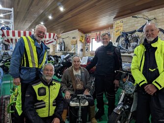
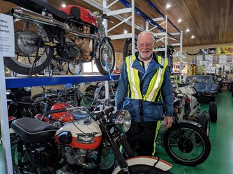
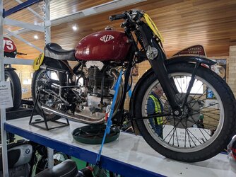
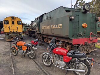
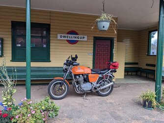
Bikes fully serviced and ready to roll, but the rain came in late this Arvo. At this stage looks like we will hole up here till Thursday morning. Checked out the local steam railway, runs from dwellingup to Pinjarra.
 

Attachments

  • PXL_20220815_084935838.jpg
    PXL_20220815_084935838.jpg
    202.4 KB · Views: 44
  • PXL_20220815_084315280.jpg
    PXL_20220815_084315280.jpg
    192.2 KB · Views: 45
Head SE towards Boddington, turn off on the Lower Hotham Road past Quindanning. You will come to a junction, turn right to Collie for fuel if needed, then south to Mumballup, right turn to Donnybrook, to Kirup, to Bailingup, then Bailingup to Nannup. You will not regret the Bailingup - Nannup road. Nannup good spot for food and overnighter before short ride to Walpole.
 
Back
Top